Community History

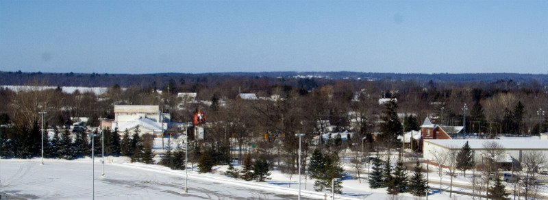
Rama Road today
In 2018, the Culture and Research Department launched an initiative to make some of the many photographs and stories more accessible to community members and friends. With the support of Chief and Council, we were able to take the Rama First Nation historical archives online. The captions and descriptions were obtained through research or storytelling. If you notice any errors, or want to share more about the photograph, please send us an email via the feedback form (found by clicking on a photo near the top right of your screen “send us feedback”).
We hope you enjoy travelling through our community history. Miigwech.
Oral history tells us that the Ojibwe Nation was one of the largest nations in North America.
We migrated from the eastern seaboard to the west side of Lake Huron, Lake Michigan and Lake Superior, pushing the Sioux further west. We made our way into this area from the southern portion of Chippewa territory in Minnesota and Wisconsin.
Known as the Chippewas of Lake Simcoe and Huron, our people are part of the Chippewa Tri-Council, an alliance of three First Nation communities now known as the Chippewas of Beausoleil First Nation on Christian Island, the Chippewas of Georgina Island on Georgina Island, and the Chippewas of Rama First Nation. Under the leadership of our hereditary Chief, Chief Musquakie (Yellowhead) who served his community from 1818 to 1844, the Chippewa Tri-Council First Nations continue their alliance today.
Well known for our hospitality, we shared our knowledge and medicines with early settlers which enabled them to survive their first difficult years in a sometimes harsh land.
Around 1830, our community was moved to the Coldwater Narrows area by the Crown, part of an “experiment” which shaped “Indian Reserves” in North America and around the world. We continued on as industrious people, building a road for commerce which is known today as Highway 12, establishing farms, mills, and markets for selling produce, fish and game to settlers and travellers.
Forced to move again after our land was taken in what is now being termed an “illegal surrender”, we purchased land in Rama Township in 1836 and made a new beginning for our people.
The land was difficult to farm and, with the loss of our inherent right to fish and hunt with the disputed Williams Treaties in 1923, we pursued other entrepreneurial opportunities in the tourism market.
Mnjikaning Fish Weirs at current day, Atherley Narrows
The fish fence at the Atherley Narrows, is located near Rama First Nation. It is a complex system of underwater fences which was used for harvesting fish. Elders say that the historical role taken on by Rama was important to the Chippewa Tri-Council communities. We maintained the fence and made sure that the harvest gathered was distributed equally to the other communities involved.
In the Anishinabek telling of the creation of the world, each species of living things was given a purpose to fulfill. The fish were told to come together at certain times of the year and hold council. At these times, the people could more readily access them for food.
In spite of all the changes the Narrows has undergone over the centuries, the fish still hold to their role in creation and come together at Rama every spring and fall.
The Mnjikaning Fish Fence Circle was established in 1993 by community members and area residents for the purpose of protecting and promoting the weirs. Rama member Mark Douglas played a key role in this work. In 1982, the government recognized the Mnjikaning Fish Weirs as a National Historical Site. Parks Canada and the Mnjikaning Fish Fence Circle are working on strategic plans to further develop this site.
Rama, over the centuries, was more than a place for fishing. It was a traditional meeting place because of its unique geographical location with respect to the convergence of lakes and tributaries.


